
Renton Neighbor Record Sources
Official sources answer different questions about the immediate block. The parcel map defines what is beside or behind an address. The assessor report adds property fields. City layers show whether that adjacent shape is a building, road right-of-way, facility, or historic parcel. Community resources name recognized groups, but do not publish a member roster.
| Official source | What it adds to a block | How to reach it |
|---|---|---|
| King County Parcel Viewer | Target and adjacent parcels, situs, parcel IDs, mapped boundaries | Free address, parcel, condo, or map-click search |
| King County Assessor | Assessed owner field if shown, mailing address, building and value facts | Linked parcel report or public-information service |
| Renton COR Maps and GIS | Jurisdiction, address points, annexations, permits, ZIP, schools, precincts | Free layered city maps |
| Neighborhood Program | Recognized group names, resources, grants, calendar contacts | City program page, email, or phone |
| Historical directories | Dated address listings and nearby house numbers | KCLS, State Library, or Renton History Museum |
A mapped parcel can belong to a person, company, school, utility, association, park, street segment, or common area. The assessed owner may receive tax mail somewhere else. An apartment parcel does not expose each household. These limits are part of a sound Renton neighbor lookup, not defects to hide.
Map Renton Neighbors by Parcel
The King County Parcel Viewer accepts an address, parcel number, condo name, or map click. Start with the subject address and zoom until lot lines are distinct. The polygons touching the side, rear, or corner are the nearby parcels. Use the line or area selection controls only to organize the immediate group, then record the map date and visible layer names.
- Resolve the address and confirm its parcel number, situs, legal description, and mapped jurisdiction.
- Click each touching polygon. Label its relation as side, rear, corner, street, facility, or common area.
- Open the official assessor link for each relevant parcel and copy the report labels, date, and mailing-versus-situs distinction.
- Compare city boundary, address points, right-of-way, footprints, and annexation layers in Renton COR Maps.
- Use a separate dated record only when a genuine need calls for a human-name follow-up.
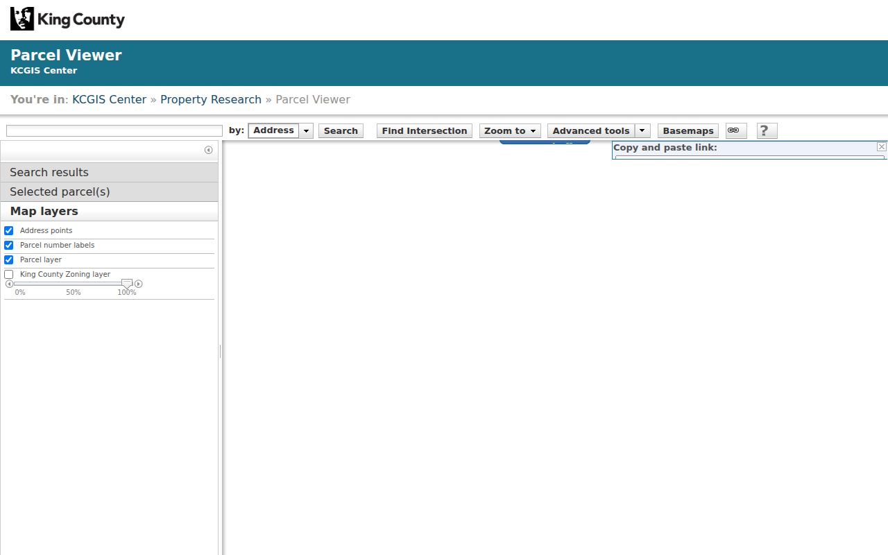
Open the King County Parcel Viewer to begin the official map comparison. The source capture below shows the parcel interface used to identify the target and nearby polygons.
For a long run of addresses rather than a tight block, use the Renton street directory. That workflow follows a whole named street; the neighbor method stays focused on the closest parcel ring.
Read Renton Block Layers
Renton's GIS is especially useful because its layers go beyond parcel outlines. The Property service includes current and historic parcels, building footprints, easements, leases, facilities, right-of-way, city and county boundaries, and annexations. District layers add ZIP areas, schools, voting precincts, utilities, census geography, and survey grids. Community layers add designated neighborhoods and licensed businesses.
Turn layers on one group at a time. A footprint can explain why two addresses appear on one parcel. Right-of-way can explain a gap that looks like a lot. An easement may show why an access route crosses the rear of several parcels. A historic-parcel layer can reveal a split that changed house numbers. These are structural findings, often more useful and less intrusive than guessing who lives nearby.
Renton publishes the GIS hub and map links. That local layer route ties county parcels to municipal context and helps distinguish postal Renton from the actual city jurisdiction.
Note: A GIS parcel line is useful discovery evidence, but the viewer warns that it is not a legal boundary survey.
Check Renton at Block Edges
A mailing address that says Renton does not settle which government serves the parcel. In COR Maps, use the city and county boundary layer and the “What's Here” result. Municipal instructions tell users to look for Jurisdiction: RENTON. The same check matters before requesting a city permit, code, utility, right-of-way, or police record.
Keep historical jurisdiction too. Annexation can place today's block inside Renton even though an older permit or road record belonged to King County. Adjacent parcels can straddle that change. Route each request to the custodian responsible at the record date, and do not collapse postal city, ZIP, neighborhood name, and municipal boundary into one label.
Boundary check. Save a screenshot date, parcel ID, and jurisdiction result before contacting an agency about one side of a block.
Meet Recognized Renton Neighborhoods
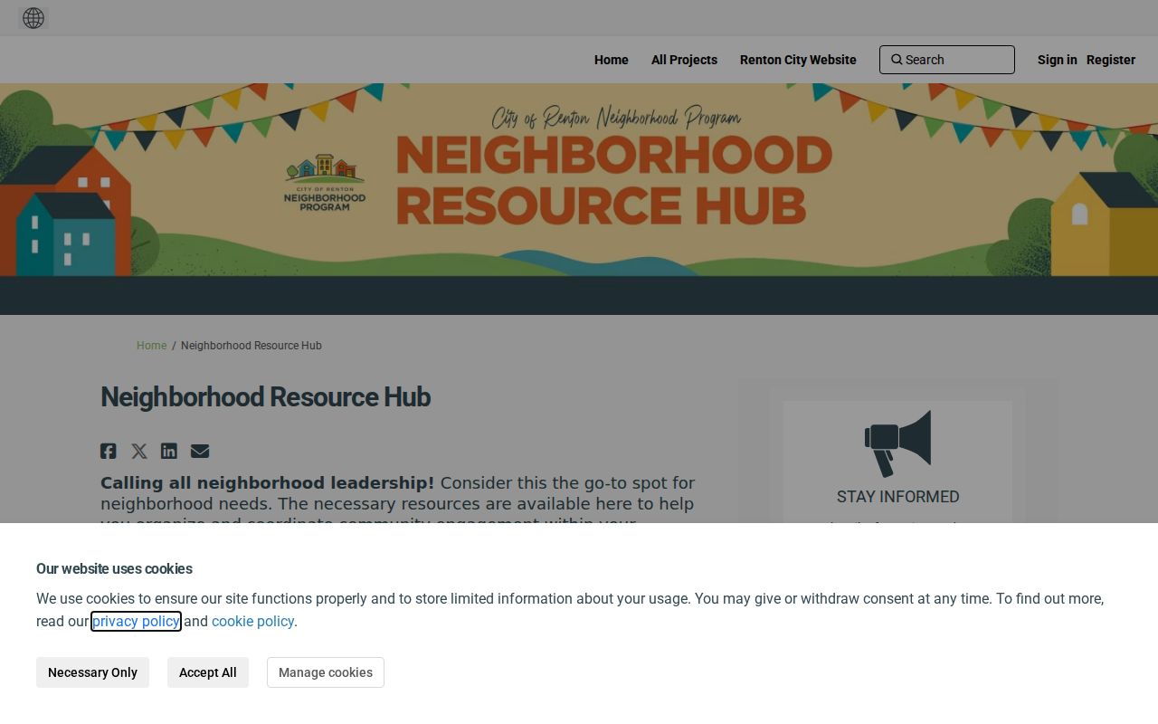
The Renton Neighborhood Program provides a public resource hub, neighborhood map, recognized-neighborhood grant information, neighborhood-program@rentonwa.gov, and 425-430-6400. A February 2026 city update names Cascade, Evendell, Kennydale, LaCrosse/Maplewood Heights, Maplewood, North Renton, Rolling Hills/South Renton, Victoria Hills, and Victoria Park as recognized neighborhoods.
| Resource | Useful public information | Important limit |
|---|---|---|
| Neighborhood Program | Map, city resources, grant guidance, program contact | Not a household directory |
| Recognized-neighborhood update | Current program participants listed by the city | Not every informal group or HOA |
| Your Voice resource map | Resources, calendar entries, event submission route | Places and events, not households |
| Let's Go Renton | Public community activities at named locations | Attendance does not show residence |
City GIS also contains designated names such as North Renton, Nautica by Lake, Nichols Place, Orchards, Parkside Court, Pioneer Place, Ponderosa Estates, President Park, Renton Hill, Renton Park, Rolling Hills, Shadow Hawk, Snake Hill, and South Renton. A GIS label and a recognized program group are not always the same thing.
The official resource map was marked updated June 2, 2026. Renton's neighborhood resource map shows how public activities are organized without exposing private membership.
Note: No official public HOA membership directory or complete neighborhood-member roster was found in the research.
Renton Community Directory Events
A city events publication named 2025 barbecue or community events at Sunset, Renton Hill, South Union, and Cascade. Those listings offer a direct way to learn about a place and meet people who choose to attend. They do not establish that every participant lives on the block, and an event list should never be turned into a household list.
Use the Neighborhood Program contact when a map name needs interpretation. Ask whether a group is currently recognized, which public meeting or event serves the area, and where the group's public notice is posted. Do not ask the city for private member contact details. The answer may be a program boundary or activity calendar rather than an association roster.
Voter Records and Renton Blocks
King County My Voter Information is a service for checking a known voter's record, not an address-wide neighbor search. Its form asks for any three of first name, last name, date of birth, and house or building number. Data is updated daily at midnight. A match can show registration and ballot information, but it should not be converted into a claim about every person at an address.
Washington's statewide voter-file route has strict field and use rules. Public fields identified in RCW 29A.08.710 include name, address, political jurisdiction, gender, birth year, voting record, registration date, and registration number. The original registration form and protected identifiers remain confidential. RCW 29A.08.720 restricts use of lists for advertising and solicitation, while protected-record programs can substitute an address.
A county no-match can reflect spelling, changed status, a nonmatching number, no registration, or protected information. It is not permission to reconstruct a private address by combining unrelated files. For a historic block, a dated street directory is the more appropriate address-first source.
Official Renton Records Compare Better
Commercial neighbor tools may merge old directory entries, marketing files, and unverified associations. Their labels can hide the source date and confuse relatives, owners, subscribers, and occupants. Official records are narrower, yet their custodian, field meaning, and update date can be checked.
| Question | Official map or roll | Commercial category |
|---|---|---|
| Where did this name come from? | Named custodian and record type | Source may be unclear or blended |
| When was it current? | Map, assessment, recording, or edition date | Refresh date may not equal source date |
| What does it prove? | Limited to the labeled field | May imply a household link without evidence |
| How can it be corrected? | Agency or custodian process | Vendor-specific correction route |
For civic curiosity or a block-history project, official parcel, archive, and community sources give a cleaner trail. Cite the exact result instead of repeating a broad “neighbor” label.
Historic Renton Block Records
Old city and telephone directories can be read in street order. Copy the target house number, the immediately adjacent numbers, and both sides of the block when the edition permits. Record each entry's year, page, address, person or business label, phone, apartment notation, and abbreviation key. Then compare the next available edition.
A blank line does not prove an empty house. The edition may omit nontelephone households, apartments, new construction, or places beyond its publishing boundary. Newspapers, school materials, property cards, deeds, and probate clues can test one dated listing. If a subdivision, annexation, or road change altered the block, retain the old parcel relationship and address spelling rather than forcing it into today's map.
Privacy in a Renton Neighbor Lookup
Current GIS can show a whole visible block, but it cannot guarantee a list of occupants or group members. Utility customer data, delivery data, household composition, unlisted phones, and private membership records do not become public merely because a parcel can be mapped. A current owner field is still an assessment fact, not an occupancy certificate.
The best block worksheet therefore lists parcels first. Save each parcel ID, situs, legal description, boundary relation, city or county jurisdiction, and official map URL. Add building footprint, public facility, right-of-way, easement, permit, or historical-parcel facts when relevant. Attach a human name only with a separate cited record and date.
Lawful use. Use a Renton neighbor lookup for block history, civic participation, reconnection, or personal safety awareness. Never watch, harass, threaten, intimidate, or harm another person.
Respect a protected or substitute address. Washington's Address Confidentiality Program exists for qualifying survivors and protected professionals. An absent address can reflect a safety measure, not a missing resident. Stop the search instead of trying to defeat that protection.