
Renton ZIP Directory Coverage
Renton GIS displays six postal areas in its service-map geography. Five carry a Renton postal city label, while 98178 also appears along the city’s northwestern edge and nearby King County geography. The orientations below help choose a starting area. They are not exact neighborhood borders, and they do not prove that a parcel lies within Renton city limits.
| ZIP Code | Areas Covered | Post Office | Notes |
|---|---|---|---|
| 98055 | South and central Renton orientation | Renton postal service area | Check parcel and city jurisdiction |
| 98056 | Highlands and Kennydale orientation | Renton postal service area | Health regions and neighborhoods differ |
| 98057 | Downtown and central municipal area | Renton postal service area | City Hall uses this ZIP |
| 98058 | East and southeast Renton orientation | Renton postal service area | Extends through mixed city and county geography |
| 98059 | East Renton and Newcastle-edge orientation | Renton postal service area | Postal label is not a city-line test |
| 98178 | Northwest edge and nearby King County area | Seattle postal label may occur | Appears in Renton GIS ZIP layer |
This Renton ZIP code directory does not claim a PO-box-only or unique institutional code because the official research did not confirm one for the city. Post office names and counter service can change. Use the USPS lookup for the current mailing assignment, and use city GIS for municipal status. The distinction is central: USPS routes mail, while Renton and King County decide which agency keeps local records.
Verify a Renton ZIP
The official USPS ZIP Code Lookup gives the ZIP code directory its postal check. It offers three useful paths: enter a full street address, look up cities connected to a ZIP, or find ZIPs by city and state. A full address is best when the street number is known. City-and-state mode is useful for building a candidate list, but it can return postal coverage beyond municipal limits. USPS expressly warns that a successful postal match does not confirm that a person or company is at that address.
| Lookup mode | Fields | Use |
|---|---|---|
| Address | Street, city, state | Return the standardized address and ZIP |
| City by ZIP | ZIP code | Check acceptable postal city names |
| ZIPs by city | City and state | Build a candidate ZIP list |
Save the standardized spelling and ZIP+4 when returned. Then move to the correct record portal. A mailing label is a routing fact, not a resident list or an ownership finding.
Map Renton ZIP Geography
Renton COR Maps combines ZIP polygons with current and historic annexations, city boundaries, address points, parcels, rights of way, easements, permits, code cases, neighborhoods, voting precincts, and school boundaries. That mix makes it possible to see why two official systems can group one address differently. Search the address, turn on the ZIP and jurisdiction layers, and note each label separately.
The city’s own right-of-way and police instructions tell users to look for the field Jurisdiction: RENTON. That check matters before a city records request. A parcel with a Renton mailing label can remain in unincorporated King County, and an annexation can change the responsible police, permit, or public-records office without changing postal routing.
The Renton Maps and GIS Data page is the official starting point for those city layers.
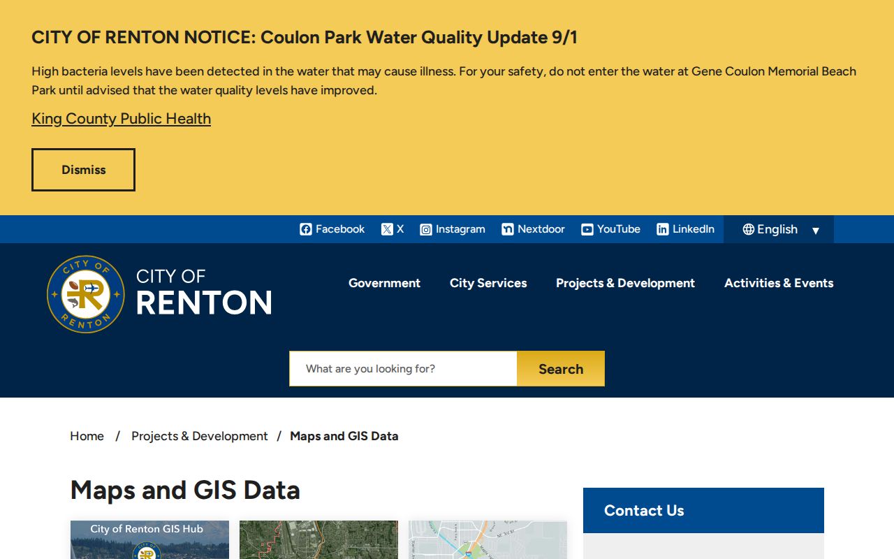
The map layers add jurisdiction and local context that a bare postal result cannot supply.
Find Renton Residents by ZIP
A ZIP can narrow geography, but the official sources do not all accept it. USPS checks the address. Renton GIS displays ZIP polygons and city layers. King County Parcel Viewer and assessor reports work from an address or parcel, while the Recorder’s Landmark Web is based on recorded parties, dates, legal descriptions, and instruments. King County My Voter Information uses a house number with identity fields, not a ZIP-wide public search.
- Standardize the full address with USPS. Record the postal city, five-digit ZIP, and ZIP+4 if shown.
- Open Renton COR Maps or King County Parcel Viewer. Confirm the parcel, city jurisdiction, and ZIP layer.
- Use the parcel number in the assessor report. Treat the owner and mailing fields as tax-record facts, not proof of who occupies the site.
- For a defined lawful voter-data need, use the Secretary of State extract request and obey its field and use limits.
Once a ZIP has narrowed the area, the Renton street directory explains the address and parcel workflow at street level. Do not try to turn a ZIP polygon into an undated list of everyone living inside it.
Read Renton Parcel Results
King County’s assessor and map tools can display situs address, parcel number, tax account, levy code, owner or taxpayer fields, legal description, values, and map context, depending on the chosen result. “Situs” means the physical parcel address. The mailing address is where tax correspondence goes and can be elsewhere. A levy code groups tax districts; it is not a ZIP code.
Open King County eMap after resolving the ZIP, then use the parcel identifier to keep the same land record in view when street names, postal labels, or jurisdiction change.
Renton ZIP Voter Limits
King County My Voter Information asks for any three of first name, last name, date of birth, and house or building number. It does not offer a public ZIP-wide resident roll. The county says registration data updates daily at midnight, and ballot tracking refreshes more often during its stated daytime window. A match reflects the voter service record and its date, not continuous presence at an address.
The Secretary of State’s voter database extract has a request form for approved, lawful access to public fields such as name, address, political jurisdiction, birth year, voting record, registration date, and registration number. Washington law restricts use of the list and protects full birth dates, government identifiers, source details, and Address Confidentiality Program records. Keep the ZIP filter tied to a defined public-record purpose and preserve the extract date.
Renton Address Changes Persist
The 2008 Cascade-Benson Hill annexation is a practical example of municipal geography changing while postal geography may remain stable. A city or county permit, police report, or address file can sit with a different custodian before and after annexation. Search both dates and identify which boundary was in force when the record was created.
A local road-name quirk adds another layer. A northern segment retained an Edmonds Avenue name while the longer route used 116th Avenue SE, causing real search aliases. Keep a three-date ledger: the event date, the address exactly as printed then, and the date of the modern parcel or jurisdiction check. That method prevents a renamed road or annexation from looking like a different place.
Compare Renton Boundary Systems
Postal ZIPs, Census ZIP Code Tabulation Areas, county health regions, school districts, voting precincts, recognized neighborhoods, and municipal limits serve different jobs. A responsible ZIP code directory labels each source. A Census ZCTA approximates postal geography for statistics. It is not the live USPS delivery file. A health planning region can group areas for reporting without changing anyone’s postal address. School and precinct lines may split the same ZIP.
Label the source with every number. “USPS ZIP,” “Renton GIS ZIP layer,” “Census ZCTA,” and “King County health region” are not interchangeable. This is especially important for 98056 and 98178, where official planning or GIS references may place the same postal area in a wider South King County context.
Renton ZIPs Versus City Limits
A Renton postal city line answers where mail should route. The incorporated boundary decides whether the City of Renton or King County is likely to hold a local permit, police, road, or code record. Those lines do not perfectly match. Check USPS first for postal assignment, then COR Maps for the city jurisdiction, and finally Parcel Viewer for the county parcel. Record all three results instead of forcing them into one label.
ZIP 98178 demonstrates the issue because it appears in the city GIS layer even though Seattle postal labels occur in the surrounding area. The five 98055 through 98059 codes also cross neighborhood, planning, and service boundaries. The Renton ZIP code directory is therefore a geographic starting point, not proof that a named person lives inside the city.
- ZIP and ZIP+4
- A five-digit delivery area and its added four digits, which narrow mail sorting to a smaller segment.
- PO-box ZIP
- A code assigned mainly or solely to post office boxes rather than ordinary street delivery.
- Unique ZIP
- A ZIP assigned to one high-volume organization rather than a broad neighborhood.
- Carrier route
- A mail-delivery path within a ZIP. It can cross informal neighborhood lines.
Boundary check. A ZIP result routes mail. Use the Renton jurisdiction field before sending a city records request.